Space4Good and RINA integrate satellite analytics into infrastructure and environmental verification
Postado por Editorial em 28/03/2026 em TECH NEWSCompartilhar:


Partnership combines Earth observation data and engineering expertise to support continuous monitoring and validation of projects
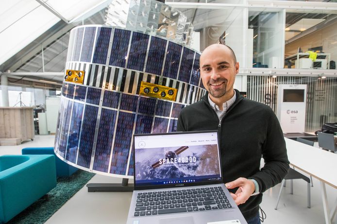
Space4Good, a Netherlands-based geospatial analytics company, has established a technical partnership with RINA, an engineering, inspection and certification group with operations in more than 70 countries. The collaboration is focused on integrating satellite-based Earth observation data with engineering processes to support the verification of infrastructure performance and environmental conditions across large-scale projects.
The initiative responds to increasing demand for monitoring methods that provide continuous and independent validation, particularly in sectors where compliance and performance have traditionally relied on periodic inspections or self-reported data. Areas such as infrastructure development, biofuels, carbon markets and nature-based projects require ongoing evidence that operational assumptions, land use and environmental indicators remain consistent over time.
Under the agreement, Space4Good will contribute satellite data and analytics capabilities, including the ability to detect land-use changes, monitor vegetation and assess environmental patterns across extensive geographic areas. RINA will incorporate these data streams into its engineering and certification workflows, enabling verification processes that are supported by remotely collected and continuously updated information.
“We first connected at the Geospatial World Forum and quickly saw a strong overlap in what our organisations do,” said Alexander Gunkel, Founder of Space4Good. “RINA has deep experience in engineering and certification. We contribute satellite-based monitoring that can detect land-use change, track vegetation and support environmental verification across large areas. Combining these strengths allows for more robust and transparent assessments.”
According to Ivani Rodrigues, Brazil GIS Engineering Project Manager at RINA, the partnership expands the company’s use of Earth observation within infrastructure and sustainability-related projects. “The partnership with Space4Good strengthens RINA’s work in Earth Observation, an important topic in GIS and increasingly sought after in infrastructure and sustainability projects. This collaboration broadens our range of activities and strengthens RINA’s connections with stakeholders in Brazil, while also creating new avenues for cooperation in the European market, where Space4Good is well established.”
By combining satellite data analysis with engineering validation processes, the companies aim to support more consistent monitoring frameworks, where project verification can be based on continuously updated data rather than discrete evaluation points.